
History in Maps
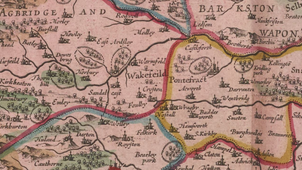
People have been creating maps since the time of the earliest cave paintings. These early maps were made to aid travel, mark boundaries, and support trade. The map shown on this page was produced in 1662 by the Dutch cartographer Joan Blaeu, on behalf of the Dutch East India Company.
As with many early maps, this one contains little local detail. Nevertheless, it still shows that Crofton existed, was important enough to be recorded, and had a church.
By the mid 18th century a number of mapmakers were producing documents containing more detail. It was also during this period that the British Army recognised the need for accurate mapping, particularly after difficulties locating dissenters during the 1745 Jacobite Uprising. The need for military precision led to the creation of the first detailed maps of Scotland by military surveyors who later formed what we now know as the Ordnance Survey (OS), an organisation that still produces high-quality maps today.
Today, maps are more often used for planning than for military suppression.
The following pages present a series of maps produced over a period of more than 250 years. They provide insight into how Crofton has developed as a village over time.